A new generation of artificial intelligence is reshaping how scientists monitor and respond to wildfires from space, according to a recent report published by Tech Xplore titled “AI boosts satellite tracking of wildfires”.
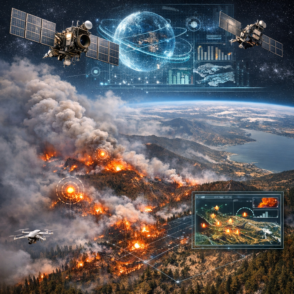
The article highlights how researchers are integrating advanced machine learning models with satellite data to improve the speed and accuracy of wildfire detection and tracking. These systems analyze vast streams of imagery captured by Earth-observing satellites, identifying fire activity in near real time and helping authorities respond more effectively to rapidly evolving conditions on the ground.
Traditional satellite monitoring has long been a cornerstone of wildfire management, but it often involves delays and limitations in resolution or coverage. The introduction of AI has begun to address these challenges by automating the analysis of complex data. Instead of relying solely on human interpretation, algorithms can scan images continuously, flagging anomalies such as sudden temperature spikes or smoke plumes that may indicate emerging fires, similar to capabilities used in NOAA’s GOES satellite system.
Researchers cited in the Tech Xplore report emphasize that the new approach does more than simply detect fires. AI systems are increasingly capable of tracking fire progression, estimating intensity, and even predicting potential spread based on environmental factors like wind patterns, vegetation, and terrain. This predictive capability could prove critical for emergency responders attempting to contain fires before they escalate, complementing efforts such as the Copernicus Emergency Management Service in Europe.
Another key advantage lies in the system’s ability to integrate data from multiple satellite sources. By combining observations from different sensors and orbital paths, AI models can produce a more comprehensive and timely picture of wildfire activity. This reduces blind spots and improves situational awareness for decision-makers coordinating firefighting efforts across large or remote regions, much like data fusion approaches used with NASA’s MODIS instruments.
The growing frequency and severity of wildfires worldwide have heightened the urgency of such technological advances. Climate change, prolonged droughts, and expanding human development in fire-prone areas have all contributed to more complex and destructive fire seasons. In this context, faster detection and more accurate forecasting are seen as essential tools for minimizing damage and protecting lives.
Despite its promise, the technology is not without limitations. Researchers caution that AI models depend heavily on the quality and availability of satellite data, which can be affected by cloud cover, sensor limitations, or gaps in coverage. Moreover, ensuring that automated systems complement rather than replace human expertise remains an ongoing challenge. Analysts and emergency personnel still play a crucial role in interpreting data and making strategic decisions.
Nevertheless, the advances described in Tech Xplore’s coverage point to a significant evolution in wildfire management. By harnessing AI to process the immense volume of satellite information now available, scientists are developing tools that could transform how fires are detected, monitored, and ultimately controlled.
As these systems continue to improve, they may become a central component of global efforts to mitigate the growing risks posed by wildfires in a warming world.