
A wildfire in France has done something meteorologists had never documented over the country before: it generated its own weather system. A pyrocumulonimbus cloud — a towering, fire-fueled thunderstorm capable of launching embers miles away and creating its own lightning — formed over a blaze in France this summer, according to Wired’s reporting on the event. It is the first confirmed pyrocumulonimbus ever recorded on French soil, and scientists say it signals that the country has crossed into a new and more dangerous era of wildfire behavior. As extreme climate events redefine what technology and infrastructure can withstand, this development sits alongside other hard limits being stress-tested globally — from European data systems to physical landscapes.
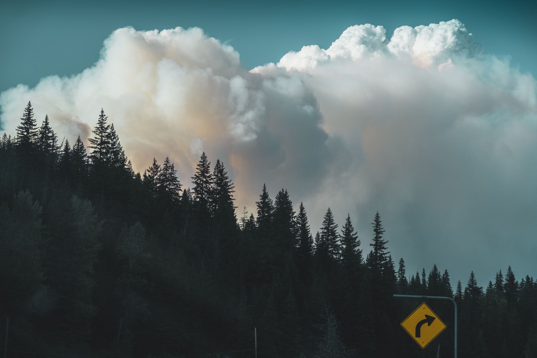
Pyrocumulonimbus clouds — sometimes called pyroCbs — are among the most violent phenomena a wildfire can produce. They form when intense heat from a fire drives a convective column so powerful it punches through the atmosphere and generates a cumulonimbus thunderstorm. These systems can spread fire unpredictably, create firebrands that travel enormous distances, produce dry lightning that ignites new blazes, and in extreme cases send smoke particles into the stratosphere. They are well-documented in Australia, Canada, and parts of the American West — but France recording one marks a geographic and climatic expansion of the phenomenon.
Fires That Broke Records Before the Storm Arrived
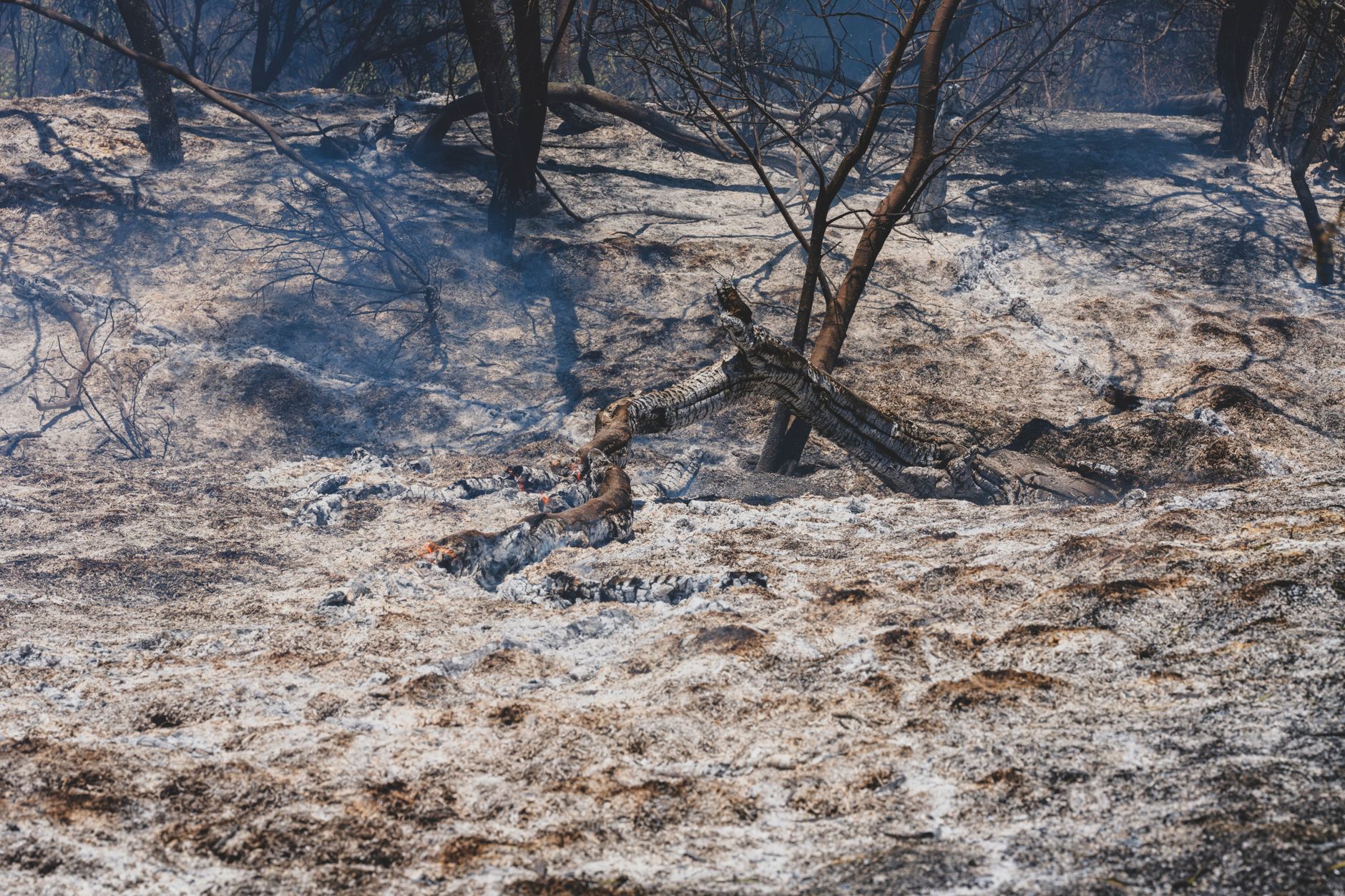
The pyrocumulonimbus did not emerge from an ordinary fire season. The blazes that produced it were part of a broader pattern of record-smashing wildfire activity across France, with fires burning larger areas, at higher intensities, and under drier and hotter conditions than historical averages had prepared emergency managers to expect. The Mediterranean regions of France have long faced fire risk, but the scale and behavior of recent fires pushed beyond the thresholds that conventional firefighting models were built around.
Fire behavior researchers note that a pyroCb formation requires sustained, extraordinary heat output — the kind generated only when a fire grows large and intense enough to dominate local atmospheric conditions rather than simply respond to them. The fact that French fires reached that threshold is itself a measure of how dramatically conditions have shifted. What once required the vast dry eucalyptus forests of southeastern Australia or the boreal expanses of British Columbia can now apparently be replicated in Western Europe.
What a Fire-Made Thunderstorm Actually Changes
The implications extend well beyond meteorological curiosity. Pyrocumulonimbus clouds fundamentally change how a fire must be managed — and how hard that management becomes. Because a pyroCb can hurl burning debris far ahead of a fire’s main front, containment lines that took crews hours to establish can be rendered useless in minutes. The lightning a pyroCb generates can start entirely new fires in areas where no ground resources are positioned. And the smoke injection into the upper atmosphere means that a single event can affect air quality and atmospheric chemistry across an entire continent.
For emergency planners and climate adaptation specialists across Europe, the French event is both a data point and a warning. If pyroCbs are now part of the European wildfire risk profile, early-detection systems, aircraft deployment strategies, and evacuation frameworks all need to account for fire behavior that can suddenly and radically outpace anything modeled before. The tools exist — satellite fire-monitoring networks and atmospheric sensors already track convective activity over fire zones — but integrating pyroCb prediction into real-time fire management requires investment that most European countries have not yet made. France’s first is almost certainly not its last.