

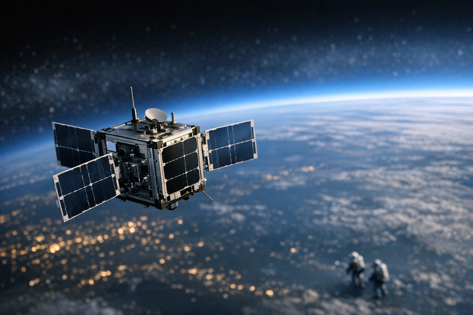
The timing could not be more pointed. As a thick haze of wildfire smoke settled over cities across the United States and Canada this summer, a new generation of Google-backed satellites quietly slipped into orbit — purpose-built to spot wildfires fast enough to actually stop them from becoming catastrophes. This is not a research experiment. It is a commercial constellation designed to go operational, and its first satellites are already in space.
The project is called FireSat, developed by Muon Space in partnership with Google.org, Earth Fire Alliance, and a coalition of environmental funders. According to Ars Technica, the constellation launched its first batch of satellites with the goal of detecting a fire the size of a classroom — roughly 5 by 5 meters — within 20 minutes of ignition anywhere on Earth. That is a seismic improvement over the current standard, where fires can burn for hours before ground crews or conventional satellites confirm their location.
20-Minute Detection Windows and a Classroom-Sized Threshold
FireSat’s satellites carry a custom infrared sensor array tuned specifically to the thermal signatures of nascent fires. The system is engineered to cut through smoke — the very atmospheric condition that makes aerial detection and traditional satellite imagery unreliable. Muon Space has said the full constellation will eventually number around 50 satellites, giving it the orbital density needed to revisit any point on Earth’s surface frequently enough to catch a fire in its earliest minutes rather than its most destructive hours.
The 20-minute detection target is the headline spec, but the underlying architecture is equally significant. FireSat is designed to push alerts directly to fire agencies and emergency managers in near real-time, bypassing the data processing bottlenecks that slow down existing systems. In a fire environment where wind can push a flame front miles in under an hour, shaving detection time from hours to minutes is not an incremental improvement — it is a different category of tool entirely.
A Smoke-Covered Continent, a System Arriving Just in Time
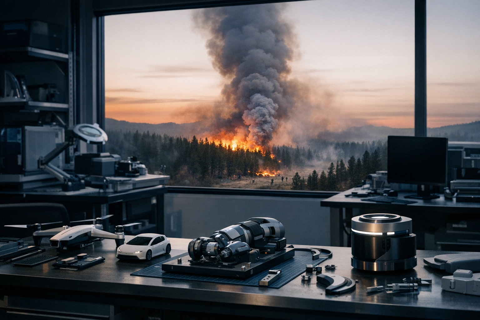
The launch arrived against a grim backdrop. As Future Wire has covered, smoke-choked skies have been turning American cities orange with increasing frequency, and the 2025 and 2026 fire seasons have reinforced just how far current detection and suppression infrastructure lags behind the scale of the problem. Canada’s boreal forests and the US West have both seen record or near-record burn acreage in recent years, and climate projections consistently point toward longer, more intense fire seasons across both countries.
Google.org, the philanthropic arm of Alphabet, has been a central funder of the FireSat initiative, framing the investment as a public-good intervention rather than a commercial bet. That framing matters for how the data gets distributed — the current plan calls for fire detection alerts to be made freely available to government agencies and first responders, rather than locked behind a subscription model. For under-resourced rural fire districts that often lack early warning infrastructure, free access to minute-level satellite detection could be genuinely transformative.
The broader competitive landscape for space-based environmental monitoring is heating up alongside the fire seasons themselves. Satellite startups and larger aerospace players are all pitching versions of persistent Earth observation, but FireSat’s singular focus on fire detection — and its explicit thermal sensing hardware optimized for that use case — gives it a differentiated position. Whether the constellation can scale to its full 50-satellite design fast enough to matter for the fire seasons immediately ahead is the critical execution question. The first satellites are up. The clock is running.


One thought on “With Smoke Blanketing North America, a New Satellite Constellation Promises to Catch Wildfires Before They Explode”