

The skyline looks wrong. A burnt-orange haze has settled over Chicago, Washington, DC, and dozens of cities in between, turning afternoon light into something closer to dusk and pushing air quality indexes into ranges that health officials label hazardous. This is not an anomaly anymore — it is becoming a seasonal fixture, and the visuals are as alarming as the data behind them.
Wired documented the phenomenon in a striking wildfire smoke report, capturing the way fine particulate matter, known as PM2.5, diffuses sunlight and creates that now-familiar apocalyptic palette. PM2.5 particles measure 2.5 micrometers or smaller — small enough to bypass the body’s upper respiratory defenses and lodge deep in the lungs, making prolonged exposure a serious cardiovascular and pulmonary risk.

Where the Smoke Is Coming From — and Where It Is Going
The smoke engulfing the eastern half of the United States is being carried thousands of miles from active wildfire zones in Canada and the western US. Upper-level wind patterns have acted as a conveyor belt, pushing combustion byproducts across state lines with little warning. Meteorologists tracking the plumes have noted that smoke can travel from a fire origin point to a major East Coast city in as little as 24 to 48 hours under the right atmospheric conditions.
Air Quality Index readings in affected cities have repeatedly cracked the 150 mark — the threshold the EPA classifies as unhealthy for all groups, not just sensitive populations. During the worst windows, some monitoring stations have logged readings above 200, pushing into the very unhealthy category. At those levels, public health agencies recommend that residents stay indoors, seal windows, and run air purifiers with HEPA filters. Outdoor exercise, even a lunch-break walk in cities like DC, becomes a measurable health risk.
Why This Keeps Getting Worse — and What It Means for Urban Infrastructure
The pattern is intensifying because fire seasons are lengthening. Higher baseline temperatures, earlier snowmelt, and prolonged drought across western Canada and the American West mean more fuel accumulates and ignites sooner. What was once a late-summer western problem has become a spring-through-fall national one. Cities that never historically factored wildfire smoke into their emergency planning frameworks are now being forced to build it into public health infrastructure — issuing air quality alerts the way they once reserved for blizzards or heat domes.
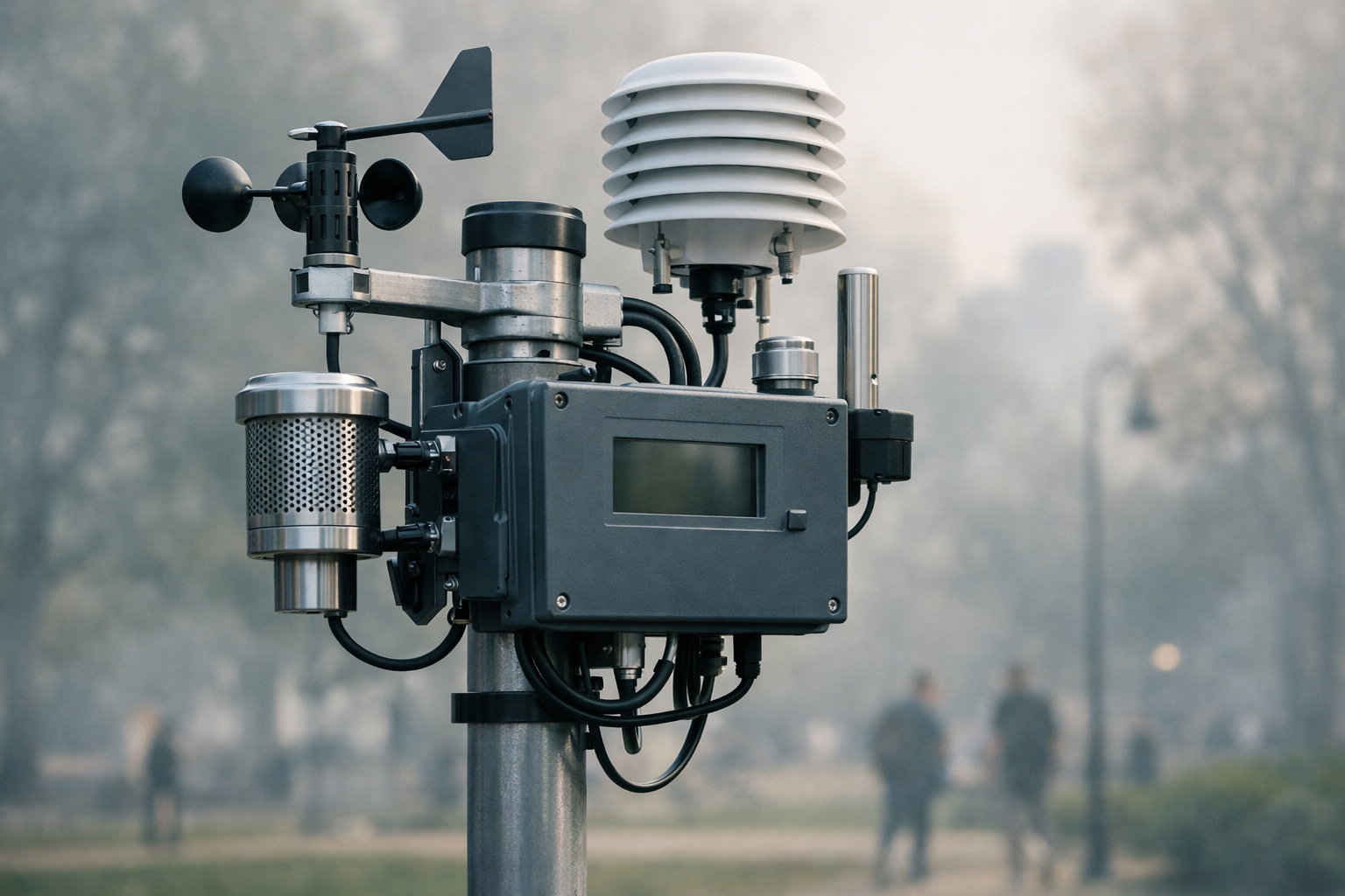
Urban planners and public health officials are beginning to grapple with a harder question: how do you design cities and policy frameworks for a problem that originates hundreds or thousands of miles away? Indoor air quality standards for public buildings, real-time sensor networks, and algorithmic alert systems are all being discussed as parts of a longer-term response. Governments at the state and local level are moving, but slowly. For comparison, New York has already begun applying algorithmic tools to accelerate regulatory review across a range of infrastructure challenges — a model that could inform how cities approach AI regulatory and environmental policy simultaneously.
Meanwhile, the energy grid faces its own compounding stress. As residents seal themselves indoors and run air purifiers and air conditioning simultaneously, peak demand spikes. That intersection of climate-driven disaster and power infrastructure strain is reshaping how utilities model risk — a pressure that dovetails with the broader conversation around energy infrastructure investment now accelerating on Wall Street. The smoke-filled skies over Chicago and DC are not just a public health story. They are a systems story — and the system is under strain.


2 thoughts on “Smoke-Choked Skies Are Turning American Cities Orange Again — and the Season Is Just Getting Started”